
Turlock Block: What Neighbors See
A block lookup becomes more reliable when each source is assigned a limited role. StanAware or another county GIS application can orient the map and show parcel geometry. The assessor can provide an owner record tied to an APN, along with a situs and mailing address. RecorderWorks can extend a known owner's trail through recorded documents. Permits and planning files can explain a change at an address. None of these sources is a complete list of who is physically present.
| Source | What It Shows About a Block | Access |
|---|---|---|
| StanAware and county GIS | Parcel polygons, APNs, adjoining parcels, and available map layers | Free map applications; dynamic controls vary |
| Stanislaus County Assessor | Owner of record, tax mailing destination, situs, values, and parcel characteristics | Free public inquiry with a known APN; broader name or situs access is limited |
| RecorderWorks | Recorded parties, instrument type, and ownership chronology tied to a known owner | Free index; copies and historic image access vary |
| Turlock permits and planning | Project site, applicant, owner, contractor, and work dates when public | Address or APN request; sensitive fields may be redacted |
| Controlled voter file | Registered voters or precinct data for approved statutory purposes | Not a public street browser; protected addresses are excluded |
| Historic reverse directory | Listed occupants in house-number order for a particular publication run | Library or database access; the exact local run is unverified |
| Public community contacts | Meeting, district, school, or reference points that orient an area | Official pages; no public membership roster implied |
The most defensible result is therefore a set of adjacent APNs and their public owner records, with a clear note about what remains unknown. An owner mailing address can differ from the parcel's situs. A family member, guest, or other household member may not appear in the parcel record at all. The word neighbors should not be used to turn an owner name into an occupant claim.
Note: An adjacent APN identifies a parcel relationship, not everyone who may be present at that location.
Click Outward From One Turlock Parcel
The adjacent-parcel method starts with one address and walks only as far as the map and records support. StanAware and county GIS applications can provide the geographic frame for city limits, annexations, council districts, transportation, parcels and land assessments, fire districts, county islands, unincorporated areas, and projects when those layers are enabled. The map is a jurisdiction check as much as a way to see what touches a lot.
- Normalize the address. Check the street number, directional prefix, street type, postal city, and whether the location is inside incorporated Turlock or only uses a Turlock delivery city.
- Find the parcel. Search the address or APN in the county GIS application, zoom to the target polygon, and record the APN shown in the map or assessor link.
- Click the border. Select each immediately adjoining polygon and note its APN. If the current viewer does not expose a verified buffer control, pan and click parcels one at a time instead of claiming a radius result.
- Read ownership carefully. Use the known APN with the assessor inquiry, then compare the owner name, mailing address, situs, legal description, and assessment details.
- Confirm a recorded chain. Search the known owner in RecorderWorks as a grantor or grantee, match the legal description, and treat a deed as ownership evidence rather than occupancy evidence.
- Stop at the boundary. Use permits, planning records, or a defined public contact only when they answer a separate question. Do not turn the adjacent-owner set into a list of every person who may be present.
The county GIS landing page documents broad map and data categories, but the exact current popup fields, layer buttons, and radius or buffer controls were not verified. For neighbors examining one block, that research gap matters: describe the workflow as direct parcel clicks, not as a guaranteed current-radius report. When the goal expands from bordering parcels to every address along the named road, continue with the Turlock street-by-street records guide.
Turlock Owner Is Not Everyone
The assessor's owner record is a strong starting point for an ownership question and a weak substitute for a household roster. It can show the owner of record, tax mailing destination, situs, APN, assessed values, exemptions or characteristics where public, and a legal description or subdivision reference. It does not reliably enumerate family members, guests, or current physical occupants.
Compare situs and mailing addresses as two separate fields. A matching pair is consistent with owner occupancy but does not prove it. A different mailing address supports only an absentee-mailing inference. Multi-unit parcels make the distinction even sharper: one ownership entity can correspond to many separate households, while the public parcel card still returns one parcel and one owner record.
The same caution applies to a GIS popup. A polygon gives a boundary and an APN, not a verified person. A recorder deed gives named parties and a recorded transaction, not a current household. A permit can identify an applicant, owner, contractor, or work date, not all people connected to an address. That distinction is why neighbors should label each result with its source and date, so a block map does not become a story the records never told.
Turlock Multi-Unit Parcel Edges
Some Turlock parcels resist a simple address-to-person interpretation. A multi-unit parcel can collapse many households into one owner or management record. A parcel near the city edge can use Turlock as its postal city while lying outside incorporated jurisdiction. A split or merged parcel can change its APN, so an older document may identify a legal description that does not look like the current map record.
Use the GIS city-limit and annexation layers, when enabled, to keep jurisdiction separate from postal wording. Compare the parcel's situs, legal description, subdivision reference, and APN history with the current assessor record. For historic work, Turlock maps from 1903 to 1972 at CSU Stanislaus Special Collections can help align old streets and boundaries with older assessment, deed, or household sources.
Do not label 95380, 95382, or a Turlock delivery city as proof that a parcel falls inside a specific neighborhood or district. Postal geography, city limits, parcel lines, school tools, and council boundaries serve different purposes. The correct answer for a boundary question is a layered comparison, not a guess based on the mailing city alone.
Turlock Permits Add Neighbor Context
City building and planning files can add context to a block when the question is about a project, change, or date. Turlock's issued-permit search can be approached by street address or APN. A public result may identify the project site, an owner, applicant, contractor, and work dates, depending on the file. Planning or municipal records requests can fill a gap when the online entry does not answer the question.
Permit evidence is event evidence. It can show that a person or entity applied for work at a site, but it does not prove that the applicant lived there or that the project is still active. It also does not enumerate other occupants. Read the permit date, project description, parcel identifier, and party role together, then compare the location with the current GIS and assessor records.
Note. A permit applicant, property owner, and contractor can be different parties, so each name should stay tied to its documented role.
Turlock Voter Status Is Not Public
California My Voter Status is an authenticated personal form, not a public list of Turlock voters. It asks for first name, last name, date of birth, and a California driver's license or identification number or the last four digits of the Social Security number, as applicable. A person's own result can show registration status, political-party preference, language preference, polling place, election information, vote-by-mail or provisional-ballot status, guide-delivery preference, and a county contact.
| Voter Record Element | What It Does | What It Does Not Do |
|---|---|---|
| First name, last name, and date of birth | Authenticates the person's own lookup | Does not open a name-by-street search |
| California DL or ID, or last four SSN | Provides the additional identity check the form requires | These identifiers are not public voter fields |
| Elections Code §2194 | Sets approved election, scholarly, journalistic, political, or governmental purposes | Does not authorize an ordinary public neighbor browser |
| 2 CCR §§19001 to 19013 | Governs applications, security, and permitted use | Does not make protected addresses public |
Stanislaus County Elections is the local administrator. A person who lacks authentication data should contact the elections office or the Secretary of State at 800-345-VOTE. Safe at Home participants use confidential registration and should not be exposed through an ordinary address workflow. Recent online registrations may take at least 24 hours to appear, so a blank result is not a complete historical answer.
Note: My Voter Status is a self-check, so it cannot supply a public street-level neighbor list.
Turlock Reverse Directories Need Proof
A reverse or criss-cross directory can turn a house number into a listed occupant for a particular edition, but its coverage is never assumed. The exact historic Turlock run was not verified in the researched sources. Ask the Stanislaus County Library reference desk to search catalog variants such as Turlock city directory, Modesto and Turlock directory, Stanislaus County directory, telephone directory, and criss-cross or reverse directory.
| Historical Source | Local Range | Block Research Use |
|---|---|---|
| Turlock maps at CSU Stanislaus | 1903 to 1972 | Align old streets, boundaries, and lot patterns |
| Turlock assessment rolls | 1908 to 1954 | Named taxpayer and property evidence |
| Turlock local census | 1913 | Household and name evidence between federal schedules |
| Personal-property lists | 1934 to 1935, 1939 to 1940, 1954 to 1955 | Historic property or business context |
| Circa-1930 directory inventory | 1928 to 1933 | NARA confirms a Modesto run that includes Stanislaus County and Turlock |
These sources can bridge a historic block, but each has a different unit of evidence. A map shows continuity, an assessment roll points to a taxpayer, a local census records a household at a point in time, and a directory lists only the people included by that publisher. A historic block can show former neighbors only for the source and year that actually included them, so pair the source with the address form instead of presenting a listing as a current fact.
Turlock Contacts, No Invented Roster
The researched sources did not locate an official comprehensive neighborhood-association or HOA directory for Turlock. No association names, private member lists, or made-up roster links belong here. Public community contacts can still orient a block, but they are not a list of residents. Use the table as a contact map with that boundary in mind.
| Official Contact | What It Can Orient | Boundary |
|---|---|---|
| City of Turlock government and City Clerk | City commissions, council material, ordinances, and municipal records | Public civic information, not a membership roster |
| Turlock public-records request page | How to identify a city department and make a focused request | Existing city records only; sensitive material may be withheld |
| Stanislaus County Elections | County election administration and precinct orientation | Controlled voter access; no public street roster |
| Stanislaus County Library reference resources | Directory, newspaper, genealogy, and local-history research routes | Reference help does not disclose private membership lists |
| CSU Stanislaus Special Collections | Historic maps, assessment lists, local census, and public-office records | Archival access rules apply; not a current resident directory |
City commissions, council districts, school attendance tools, and public community contacts can help someone understand an area. They should not be described as neighborhood rosters. If a private group has its own contact process, use only the group's verified public channel and do not infer membership from a parcel, business, or map record.
Turlock Registries Have Narrow Uses
Official records and commercial category tools answer different questions. An official custodian defines the record, date, access rule, and correction path. A commercial compilation may merge public entries with stale address associations and should be treated only as an unverified lead. Neither category creates a complete list of people around a Turlock address.
| Source Class | Useful For | Not Proof Of |
|---|---|---|
| GIS and assessor | Parcel geometry, APN, owner record, and mailing destination | Every occupant or current household member |
| RecorderWorks | Recorded parties and ownership instruments | Current physical presence |
| SOS bizfile, FBN, or DCA | Entity or professional affiliation | A private residential address |
| California Megan's Law | Its specific statutory registry and disclosure context | A general block or neighbor roster |
| Commercial compilation category | An unverified lead to check with a custodian | Official accuracy, current occupancy, or a complete block |
The California Secretary of State bizfile guidance is a named official business custodian. The source image below shows the business-search context a Turlock neighbors workflow may encounter, not a block roster.
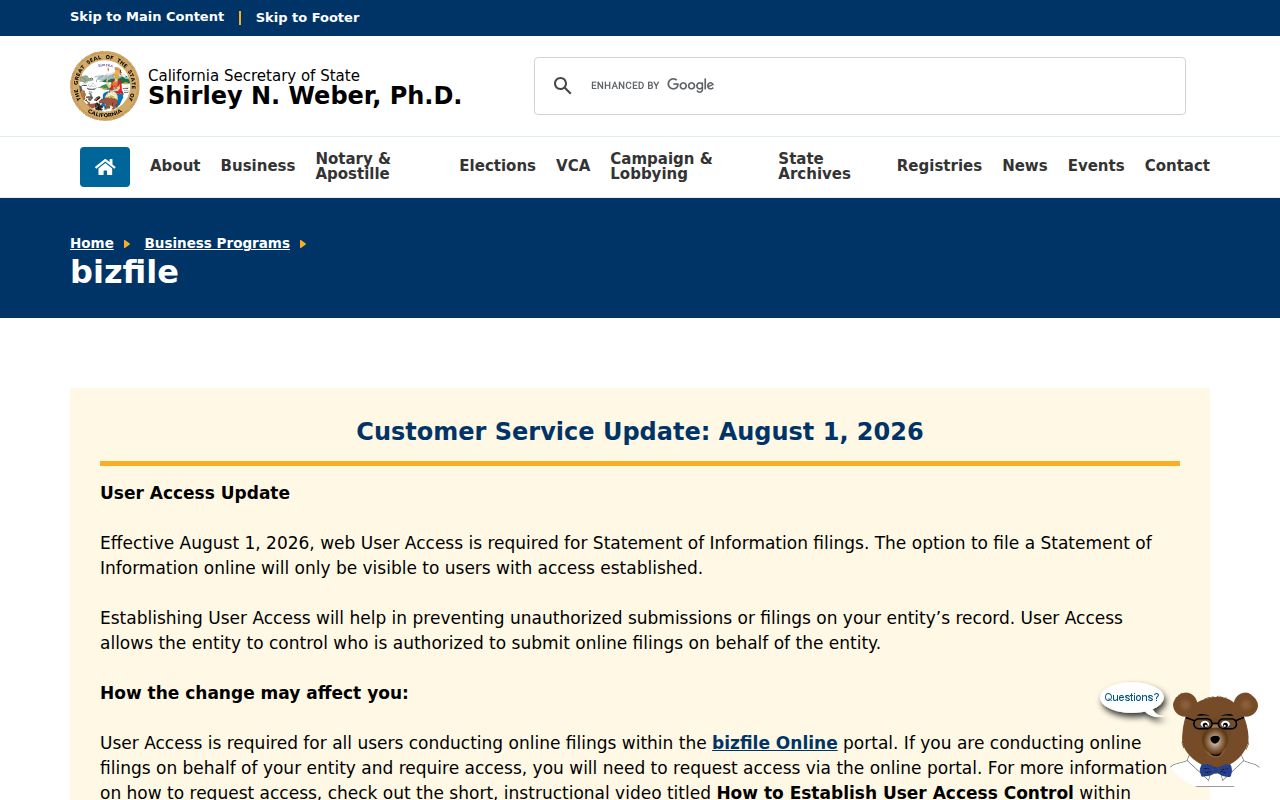
Bizfile can help test an entity or agent connection, but an agent or filing address may be commercial or stale. Keep the result in the affiliation column of the research log.
California Megan's Law has a narrow registry purpose. Open the official California Megan's Law search when that specific custodian and disclosure context is relevant, then read the source image as a registry interface rather than a general block source.
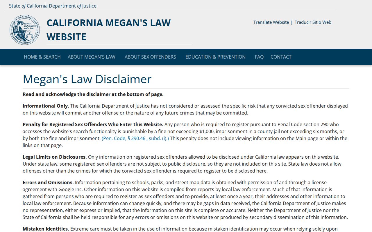
A registry result is subject to its own statutory-use warning and should not be repackaged as a broad list of people near an address.
Privacy Boundaries Around Turlock Neighbors
Several data sets that might seem useful for a block are deliberately private or controlled. Safe at Home can provide a substitute mailing address and confidential voter registration for qualifying survivors and threatened participants. DMV addresses are protected. Utility customer information, delivery data, protected voter addresses, and most household relationships are not public block fields. A public parcel or deed does not override those limits.
California's consumer privacy rules and the Delete Act can affect a covered business's handling of personal data, but a government-held deed, map, or voter file is not erased merely because a consumer asks a business to delete an entry. The California Attorney General's data-protection update describes the deletion pathway for covered data-broker records. The source image below is a privacy reference, not a promise that a public parcel record disappears.
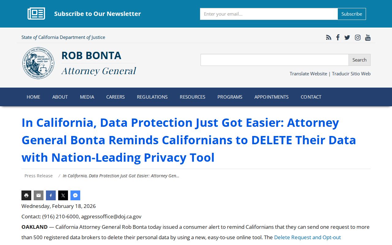
Deletion requests should be sent through a verified privacy channel, with only the identity material needed to process the request. Keep confirmation and recheck later, while continuing to treat official records through their own custodian rules.
For the public-access baseline, read the California Attorney General's Public Records Act overview. It frames a request around an identifiable record and a responsible agency, not around a universal list of people. The source image below makes that custodian-first distinction visible.
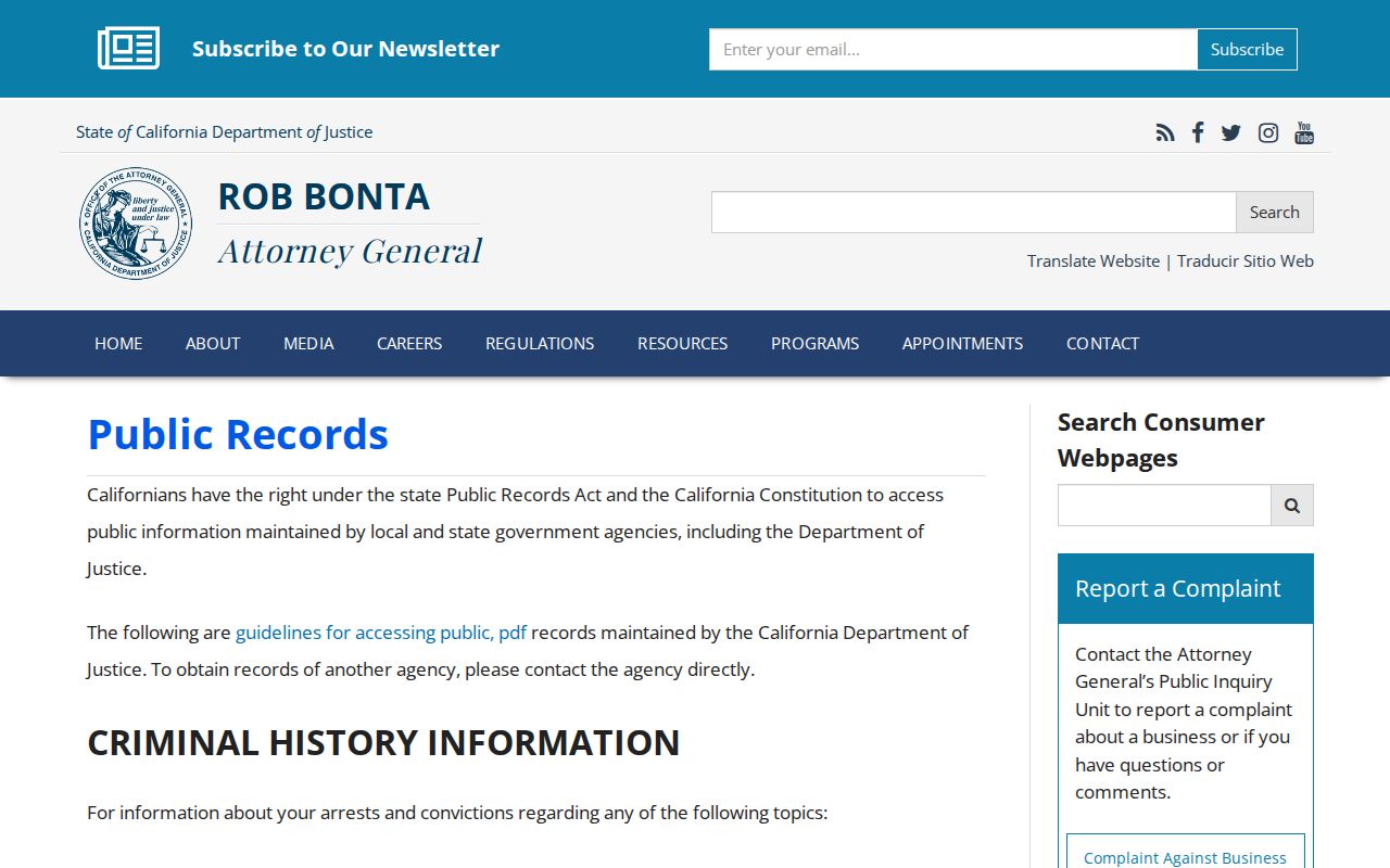
A focused request can ask for an existing permit, planning file, council record, or other public record, while exemptions and redactions remain part of the response. For neighbors, a narrow request is easier to check than a claim of a complete block roster.
Privacy and lawful use. A Turlock neighbor lookup is for personal block awareness, reconnecting, or a defined records question. Never use a parcel, voter, registry, or business entry to watch, harass, intimidate, or expose another person's protected address.
Note: A block result should retain its source date and record role before it is used for any personal conclusion.