
Turlock ZIP Codes and Their Reach
The researched Turlock ZIP code directory has two broad geographic anchors and a third code that needs address-level verification. A postal code can cover delivery territory beyond the incorporated city, and a city can have more than one delivery code. Use the table as an orientation layer, not as a parcel-accurate boundary map.
| ZIP | Areas covered broadly | Post office or service note | Research note |
|---|---|---|---|
| 95380 | Central and southern Turlock, with surrounding delivery area | Standard geographic delivery ZIP; Turlock Post Office is 555 E Main St | Downtown and older city fabric are broadly associated with this code; verify each address |
| 95382 | Northern Turlock, including CSU-area growth broadly | Standard geographic delivery ZIP | Newer northern development is broadly associated with this code; verify the parcel |
| 95381 | Officially listed for Turlock, with precise delivery function unresolved | Use USPS address lookup rather than assuming a facility type | Do not label it a neighborhood, PO-box-only code, or unique-institution code without proof |
The broad 95380 and 95382 south-north split comes from a City outreach appendix. It is useful for orientation, but not enough to decide whether a parcel is inside Turlock or in a county island. USPS ZIP Lookup by address is the final postal check for one property.
Note: 95381 remains an address-level verification question because the research does not establish its delivery function.
Turlock ZIP 95380 and Southern Area
ZIP 95380 is the broad southern and central anchor in the Turlock postal directory. The researched description includes downtown and older city fabric in a general sense, as well as surrounding delivery territory. It does not create a list of everyone who receives mail there, and it does not replace the city-limit layer.
The Turlock Post Office is at 555 E Main St, 95380. The research also identifies VPO locations at 1081 Lander Ave and 735 Wayside Dr, both using 95380. Those facilities explain a delivery network, not a boundary. A mail route and an incorporated jurisdiction are separate facts.
For a property question, use the ZIP only to narrow the starting area. Confirm the full street address, then obtain the APN through county GIS or the Assessor. The Turlock street directory by address takes over once the ZIP clue has done its routing work.
Turlock ZIP 95382 and Northern Area
ZIP 95382 is the broad northern anchor, including the CSU-area growth described in the research. It is a useful clue for locating newer parts of the city and for separating a northern postal search from the older central and southern fabric. It should still be treated as a postal label until a specific address is verified.
Growth patterns can change the record mix. A newer subdivision may be better documented through assessor parcel data, subdivision maps, GIS, and permits than through an older printed directory or Sanborn sheet. A university-area address may also involve institutional records or a mailing convention that does not describe a private household.
The postal directory is strongest when it hands the question to a more exact source. Use postal validation for the delivery code, GIS for the jurisdiction, and the recorder or city custodian for the record trail.
Turlock ZIP 95381 Needs Checking
Official sources list 95381 for Turlock, but the inspected research did not establish its precise delivery function. It may not be safe to describe it as a neighborhood, a PO-box-only code, or a unique-institution code. A ZIP code directory that fills that gap with a guess would make the postal map look more certain than the evidence allows.
Use the USPS address tool for the exact property. Keep the result with the date of the search, because postal assignments and delivery details can change. Then compare the address with county GIS and the city-limit layer. If the address uses Turlock as its postal city but falls outside the incorporated boundary, the county or another local custodian may hold the relevant record.
Verify One Turlock Address by ZIP
USPS is the right first stop for one delivery address. City-and-state mode can provide a list, but address mode is what resolves a property. Record the complete street number, name, direction, city, and state before searching. A ZIP result is a postal answer. It is not an owner result, a resident result, or a city-limit result.
- Enter the complete Turlock street address in the official USPS ZIP Lookup by address.
- Save the returned ZIP and normalized street form, including any direction or unit detail.
- Check the same address in county GIS and compare the parcel with city limits, annexations, and county-island layers.
- Use the APN to reach the Assessor, then use the owner and legal description to reach RecorderWorks if a property trail is needed.
- For historical residents, move from the parcel to maps, assessment rolls, directories, census schedules, or the library and archives.
The USPS ZIP Lookup is the source for the postal result. The image below shows why a single-address lookup is more precise than assigning a whole city from a ZIP label.
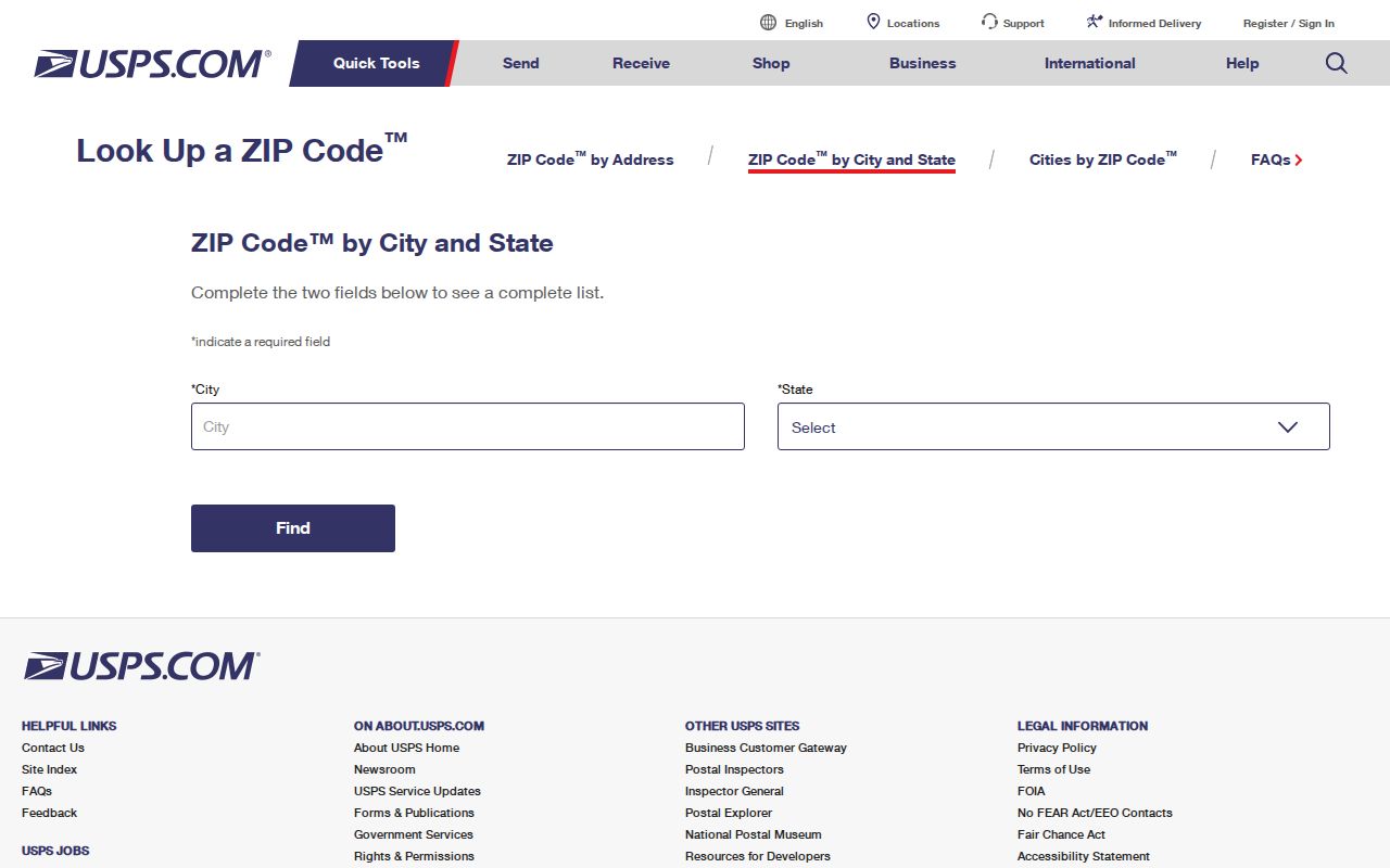
Use the returned postal code as a routing clue, then let parcel and jurisdiction records answer the local question.
Note: A USPS result answers delivery routing, while county GIS answers local jurisdiction for the same property.
ZIP Boundaries and Turlock City Limits
ZIP codes are USPS delivery constructs, while city limits are legal or administrative boundaries. The two lines can overlap without matching. A rural parcel may use a Turlock postal city while remaining under county jurisdiction. A northern postal area may include addresses whose records belong to a different local custodian. This is why a postal directory cannot be used as a city-limit map.
County GIS can visually compare the postal clue with a parcel, city-limit, annexation, zoning, district, aerial, or flood layer when the current application exposes that layer. The research did not verify the live viewer's exact layer buttons or popup fields. Describe the map step as a jurisdiction check, not as a promise that every ZIP boundary is drawn there.
- ZIP code
- A USPS delivery-area identifier. It is not a legal parcel boundary.
- ZIP+4
- An extended delivery code that narrows a postal route beyond the five-digit ZIP.
- PO-box ZIP
- A code associated with post-office boxes or a special delivery function; 95381 is not proven to be one.
- Unique ZIP
- A code assigned to a single organization or special destination; no such function is established here for 95381.
- Carrier route
- A postal delivery grouping inside a broader ZIP, not a public resident roster.
Note: Postal city, ZIP, situs, and incorporated limits can point to different administrative layers for one address.
Turlock GIS After the ZIP
The county GIS step turns a postal clue into geography. Search the address or APN, select the parcel polygon, and inspect the city-limit and annexation context. If the question concerns a group of adjacent parcels, click each bordering polygon and record the APNs. This is the same parcel method used for an address directory, with the ZIP acting only as the first filter.
GIS may show parcels, land assessments, transportation, council districts, fire districts, county islands, unincorporated areas, and projects. The exact current viewer behavior can vary, so preserve a screenshot or note the layer names used. Do not claim that a map popup proves occupancy or that a boundary line supplies a list of people.
The official entry point is Stanislaus County Geographic Information Systems. It is the right next source when a Turlock postal result must be tested against a parcel or jurisdiction.
Turlock ZIP Search Cannot List
No documented county portal supplies a public ZIP-wide owner directory. The Assessor description confirms parcel, name, and situs fields for an approved inquiry, while the free public web route requires a known APN. My Voter Status cannot search by ZIP and requires personal authentication. The controlled voter file is restricted by statutory purpose under Elections Code §2194 and 2 CCR §§19001-19013.
That limitation keeps a ZIP code directory from becoming a broad person list. Use a ZIP to narrow a property or contact question, then move to a parcel, a case number, a deed, a permit, or a historical collection. For community context, the county Elections page and public civic contacts may orient a researcher, but they are not household rosters.
The California voter-registration guidance image below points to the lawful access route.
Read California voter-registration guidance before treating a ZIP as a voter search.
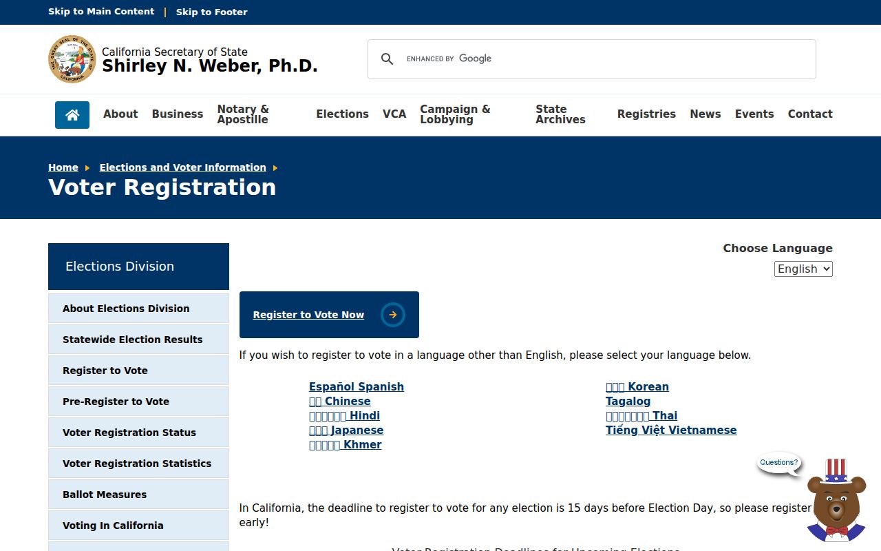
The state guidance makes clear that a postal area and a controlled election record are different layers.
Protected Addresses in a ZIP Search
Some Turlock addresses will not appear in an ordinary record workflow. California Safe at Home provides a substitute mailing address and confidential voter registration for qualifying survivors and threatened participants. DMV data is restricted by the federal Driver's Privacy Protection Act. Utility and delivery records are not public resident lists, and protected voter addresses are excluded from ordinary disclosure.
Safe at Home is a safety program, not an Internet-wide eraser. A public deed can remain in the recorder's system even when another source protects a residential address. Keep the record type and custodian visible when a ZIP search produces no match.
The official program details are at California Safe at Home. The image below shows the state privacy route that can affect a Turlock postal directory search.
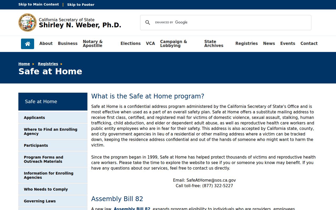
A missing address can reflect a statutory protection rather than a failed postal match.
Safe at Home governing-law information is also available from the California Secretary of State program page.
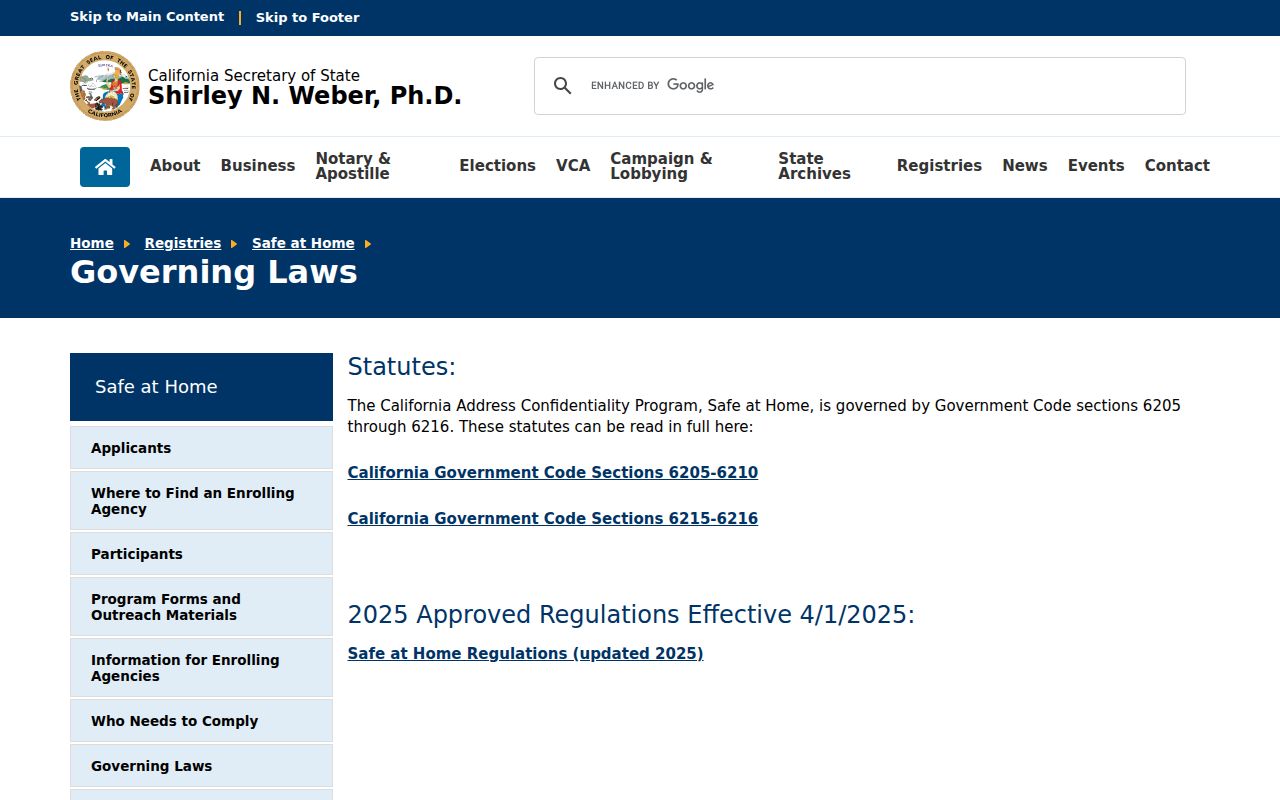
Privacy rules belong in the interpretation of the result, especially when a ZIP search seems to produce less information than expected.
Turlock ZIP Statistics Need Labels
Census ZIP Code Tabulation Areas, or ZCTAs, approximate postal geography. They are useful for population context, but they are not exact USPS delivery boundaries and do not identify individual residents. A citywide figure can describe scale without answering who receives mail at one address.
Turlock's broad south-north ZIP distinction also reflects different record landscapes. The older central and southern fabric has historic maps, Sanborn editions, assessment rolls, and local census material. Northern university-area growth may rely more on current parcels, subdivision records, and permits. Those are research choices, not assumptions about a person.
Keep a ZIP code directory entry labeled with its source, date, and level of geography. A postal result, a ZCTA statistic, a parcel record, and a city-limit finding should never be collapsed into one undated “Turlock resident” fact.
From Turlock ZIP to Street Records
The postal directory has done its job when it narrows the starting area and exposes the next exact question. After USPS validation, check GIS. After GIS, capture the APN. After the APN, use the Assessor and recorder for ownership evidence, or the city for permits and planning records. For past households, use maps, directories, assessment rolls, the 1913 local census, and newspaper or archive sources.
A ZIP is a broad geography. An APN is a property key. A legal description is the deed identity. A directory entry is a dated listing. The strength of the final answer comes from keeping those layers distinct.
When the question becomes “who is tied to this exact address,” move to the Turlock streets by address workflow. When it becomes “who is the one person,” use the resident lookup route. ZIP is the filter, not the final record.
Note: A ZIP narrows geography, but an APN or case number supplies the exact record key.